It appears snow is coming to the Ken-Tenn area.
The question now is actually how much will fall.
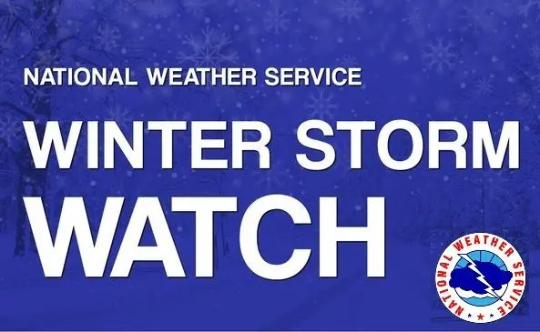
The National Weather Service has issued a Winter Storm Watch from late Friday through Sunday morning.
The National Weather Service in Paducah says periods of moderate to heavy snow will be possible during the Winter Watch period.
Weather Service officials say snow accumulations may exceed five-inches, with the greatest totals in Western Kentucky, and the Tennessee border of Southeast Missouri.
South of the area, the National Weather Service in Memphis is predicting snow and sleet accumulation of three-inches and ice accumulations of up to a quarter-of-an-inch north of the Tennessee/Mississippi State Line.
Current forecasts for the Ken-Tenn area calling for chances of snow Friday night at 50-percent, increasing to 80-percent on both Saturday and Saturday night.
Regardless of the amount that falls, the frozen precipitation will be sticking to all surfaces.
Forecasts call for actual temperatures of eight-degrees on Friday night, the mid-teens for a high on Saturday, and around 12-degrees on Saturday night.
The coldest weekend temperature will be Sunday night, with a current forecast of three-degrees.